
York Postal Coverage by ZIP
York County Planning Commission geographic data identifies five postal polygons or labels that intersect the City of York. That is the useful starting set for a postal directory, yet the layer is illustrative and is not intended for use above 1:24,000. It is a map layer, not a promise that every address carrying a York postal label lies in the City. The nearby labels in the final row make the distinction especially clear.
| ZIP | Areas | Post Office | Notes |
|---|---|---|---|
| 17401 | Central and downtown York City polygon area | York | Address-level USPS verification remains necessary. |
| 17403 | Intersects the City and extends beyond the City line | York | A postal boundary is not a municipal boundary. |
| 17404 | Intersects the City and extends beyond the City line | York | Confirm the specific address through USPS. |
| 17408 | Intersects the City and extends beyond the City line | York | It is not a separate City district. |
| 17405 | City-intersecting Downtown York postal label | Downtown York | County documents show PO Box use, but exclusivity was not verified. |
| 17402 / 17406 | Nearby York postal geography outside the City-polygon selection | York | Do not call these City ZIPs only because the mailing label says York. |
The postal directory therefore works best as a first sort. Once a full address is known, the postal result must be compared with the City map, the parcel location, and the jurisdiction that actually keeps the record.
USPS Checks for York ZIPs
Start with a complete street address in the USPS tool. It is the final check for the postal assignment attached to one location, including an address that may sit near the edge of a postal polygon. A partial neighborhood name or a broad City assumption is weaker than an address-level result. This is also the right first step before comparing an older directory entry with a modern address record.
USPS ZIP Code Lookup provides the address-to-postal verification screen used for this step.
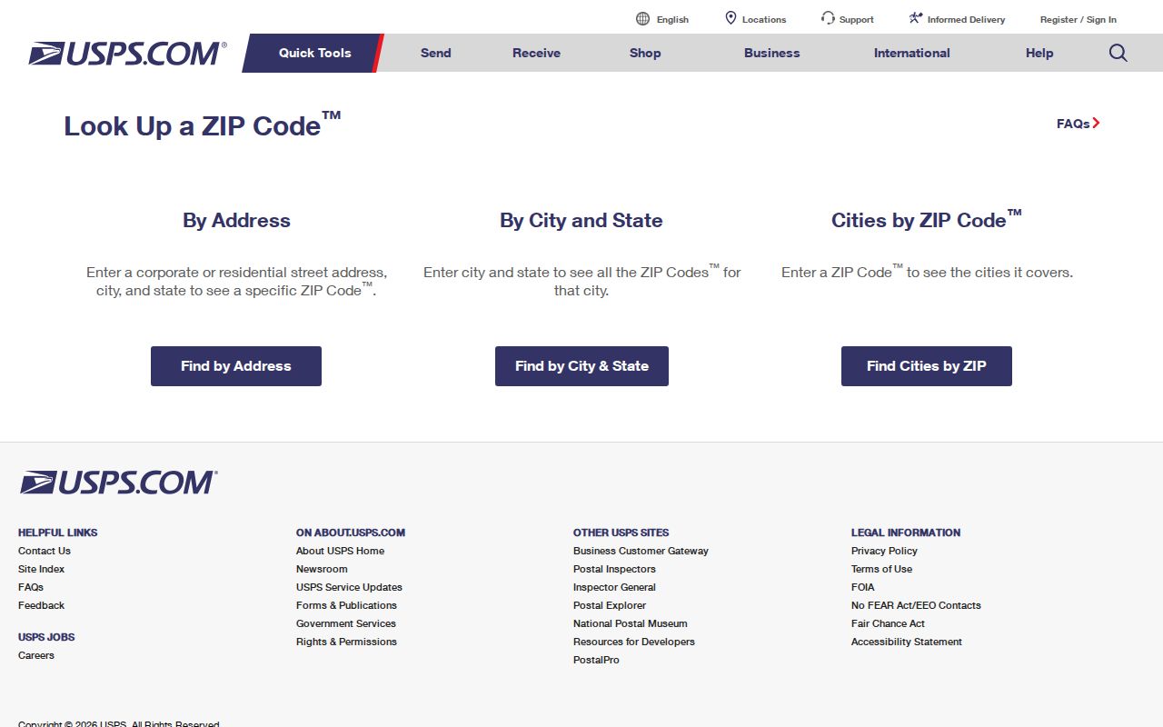
The result is a postal check, not proof of City jurisdiction, property ownership, or current occupancy. Keep it with the street address while moving into York County records.
York Postal and City Map Layers
City geography has more than one useful layer. York's public map catalogue includes annexation maps, wards and polling places, zoning, historic districts, neighborhood associations, parks, and industrial areas. Each answers a different geographic question. A ward map, for example, does not define a postal area, and a postal map does not decide whether an address falls within a historic district or City service boundary.
Check the map's date before relying on it. York's original 1741 plan and the Market and George intersection provide orientation, but they do not create a universal street-numbering rule. For an older address, the City's documented street-name tables are a better way to test current and historic street forms before treating a record as a mismatch.
The distinction is practical for records requests. An annexation layer can help determine whether a City department is the appropriate custodian. Ward and polling-place maps give election geography, while neighborhood and historic-district maps add context to a location. None substitutes for a parcel record. For a disputed edge address, save the address-level postal result, note the map date, and verify the parcel's municipality before deciding where to seek an existing record.
York ZIP Searches Without a ZIP Mode
No current ZIP-wide property or resident-results mode was verified in York County's public Assessment system or Property Viewer. The Planning Commission layer can be viewed or filtered as geography, but that is not the same as a portal returning every parcel or person in a postal area. A reliable York ZIP code search is an address workflow rather than a broad roster search.
- Verify the full York mailing address with USPS and retain the returned postal assignment.
- Use the Assessment address mode to locate the matching property record.
- Compare the resulting parcel, owner association, book/page, and any mailing component with the question being researched.
- Use the Parcel ID Number or Recorder reference to follow a specific ownership or deed question.
A ZIP narrows the place. The public property tools then connect that place to a parcel and a recorded reference. For a full named-street record trail after the address is confirmed, use the York streets directory.
York Assessment Fields by Address
York County provides several ways into the same property question, but none is a verified ZIP filter. Assessment Basic Search uses Owner, Parcel, and Address modes. The current Property Viewer can begin with an address, owner information, or an 18-digit Parcel ID Number, also called PIDN in its interface. Those options describe a property and an assessment association, not a list of everyone present at an address.
| Field | Type | Required | York format or limitation |
|---|---|---|---|
| Property Address | Text with autocomplete | No | Property Viewer source is PROPADR and can show municipality in suggestions. |
| Owner Information | Text with autocomplete | No | OWNER_FULL source; last-name searching is supported. |
| Parcel ID Number | Text with autocomplete | No | PIDN_LEASE_1, using the actual 18-digit parcel or lease identifier. |
| Assessment Basic Search | Mode selection | Select one | Owner, Parcel, or Address. Detailed live fields were under maintenance during research. |
York County Assessment Map Search shows the county's map-search route, including parcel selection and legacy buffer tools.
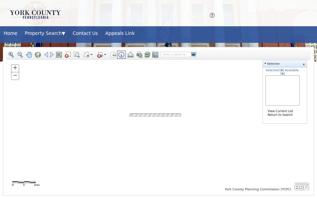
Use the map only after the address is verified. Its controls help locate a parcel, while the Assessment and Recorder records supply the details that a postal label alone cannot establish.
York ZIPs and City Lines
York's ZIP geography and City jurisdiction overlap without matching. The County layer shows 17401, 17403, 17404, 17408, and the Downtown York label intersecting the City geometry. It also found 17402 and 17406 in the broader nearby area rather than in the City-polygon selection. The comparison matters when a City office, ward, permit record, or annexation map is the needed source.
Postal comparison. A York mailing city may be useful for delivery, while the parcel's municipality and City map determine which local office or boundary applies.
Do not use a postal result as proof that an address is inside the City limits. Match the address against the parcel and the dated map layer that fits the record question.
Downtown York 17405 Label
The 17405 entry is a useful York-specific caution. The Planning Commission layer identifies a City-intersecting postal label with PO_NAME shown as Downtown York. County documents demonstrate PO Box use for that label. The research did not verify that 17405 is exclusively a post-office-box ZIP, so it should not be described that way. A full USPS address check remains the sound way to classify a particular item of mail.
This label also shows why postal vocabulary needs care. A post-office label can help sort an address, yet it does not convert the address into a separate municipal district or replace the County parcel description.
York Parcel Trail After a ZIP
After postal verification, preserve the property identifiers that survive changes in street language. York County's Uniform Parcel Identifier system began under County Ordinance 1999-03, with verification beginning January 2, 2001. A recorded instrument must show the UPI on its first page. The verification process checks the owner name, property location, municipality, previous reference, and, where available, lot or acreage detail.
A situs address is the ordinary physical address. A mailing address is correspondence data and may be elsewhere. The legal description and UPI define the recorded tract. York's City format example, 09-214-01-0007-00000, illustrates why a parcel reference is more durable than a postal label when a deed, plan, or older street name must be reconciled.
The Recorder and Assessment offices use this chain for different tasks. Assessment connects the present property profile with parcel information and a deed reference. The Recorder supplies the recorded instrument trail, including party, date, category, book/page, and property-description fields. If an older street form does not match a current address, retain the UPI and legal description while checking the City's street-name history. That is more reliable than forcing a postal label to do the work of a land identifier.
York Postal Terms Defined
These terms keep a postal directory from promising more precision than a delivery label can provide. They describe sorting concepts, while York County property research relies on an address, owner name, PIDN, deed party, book/page, and legal description.
- ZIP and ZIP+4
- A ZIP identifies a delivery area; ZIP+4 adds a more specific delivery segment to the address.
- PO box ZIP
- A postal label used for post-office-box delivery. Its presence does not establish that a nearby York label is box-only.
- Unique ZIP
- A ZIP assigned to one large organization or institution for its mail handling.
- Carrier route
- A mail-delivery route inside a postal area, not a City boundary or parcel boundary.
Use those distinctions to keep postal, municipal, and land-record questions separate. That makes a verified address easier to carry from the USPS result into York County's Assessment and Recorder systems.