
Walk a York Street Directory
York street research is an address-to-parcel process. The County assessment record or Property Viewer first confirms the parcel tied to a street address. That result can show a property address, owner information, an 18-digit parcel identifier, recorded book/page, sale data, previous-owner field, and a separately stored mailing component. The next question is ownership, not occupancy. Follow the parcel to the recorded deed, then use dated directory evidence for a historical household question. The Pennsylvania voter-status service confirms registration status and polling information, while York's voter-list process is a qualified, restricted records route rather than an open street browser.
- Enter the full address in York County Assessment Basic Search or the Property Viewer, then make sure the returned parcel is the intended property.
- Record the property address, parcel number, deed book/page, sale reference, and any separate mailing field without treating those fields as a household roster.
- Use the York Recorder Name Search to locate the current deed by party, date, book/page, or property description.
- Read the deed's recital to continue the recorded ownership chain, retaining the legal description and UPI when street wording changes.
- For a person-specific election question, use the voter-status service or York's statutory request procedure. For an older address listing, compare the relevant edition of a criss-cross directory.
That sequence keeps each York address result in its proper lane: parcel facts, recorded ownership, restricted election records, and reported historic listings are not interchangeable evidence.
York Street Directory Record Layers
Several York custodians keep records that can be keyed to an address, but their fields and access routes differ. Assessment and GIS are the quick ways to anchor a street number. The Recorder supplies the recorded instrument trail. City offices can respond to a defined permit or planning question, and historical collections preserve selected address listings by edition. Election information has separate statutory controls, so it should not be described as a browsing tool for a street.
| Address record | York keeper | Street-level clue | Access route |
|---|---|---|---|
| Assessment data | York County Assessment Office | Owner association, parcel, address, taxes, book/page | Basic Owner, Parcel, or Address search; public terminals |
| Property Viewer | York County Planning Commission / County | Parcel boundary, property address, owner, sale, assessment fields | Address, last name, or 18-digit PIDN search |
| Recorded instruments | York County Recorder of Deeds | Grantor, grantee, date, legal description, book/page | Recorder search, Landex, SearchIQS, counter, books, or microfilm by era |
| City permit or planning file | York Bureau of Permits and Inspections / Planning and Zoning | A defined project, application, or property record | Online application, appointment, kiosk, office contact, or focused RTKL request |
| Historic address listing | York County History Center and institutional collections | Reported name, address, business, vacancy, or qualifier in an edition | Reading room, catalog, microfilm, and digitized routes subject to access |
The chain is strongest when the same parcel, legal description, or book/page connects the York records. A current owner can have a different correspondence address, and a historic listing only reports what that edition printed.
Note: A City Right-to-Know request should identify the address, date span, record type, and requested medium rather than ask the agency to create a report.
York Property Viewer Search Fields
The York County Property Viewer is the map companion for York street research. It offers three optional autocomplete searches and can return suggestions, recent searches, and property-card results. Assessment Basic Search has separate Owner, Parcel, and Address modes. Its detailed live form was under maintenance during the review, so only the verified modes belong in a York workflow.
| York property search field | Type | Required | Options / format notes |
|---|---|---|---|
| Property Address | Text / autocomplete | No | PROPADR source; suggestions also show municipality / DIST_NEW. |
| Owner Information | Text / autocomplete | No | OWNER_FULL source; last-name searching is supported. |
| PARCEL ID NUMBER (18-Digit) | Text / autocomplete | No | PIDN_LEASE_1, the actual 18-digit parcel or lease identifier. |
| Assessment Basic Search | Mode selection | Select one | Owner, Parcel, or Address; detailed live fields were under maintenance. |
| Advanced/Sales Search | Mode selection | No | County-provided route; specific current input fields were not captured. |
| Map Search | Map tool | No | Includes parcel selection and a legacy buffer workflow. |
York County's assessment landing page shows the Basic, Advanced/Sales, and Map Search routes used before a property result is opened.
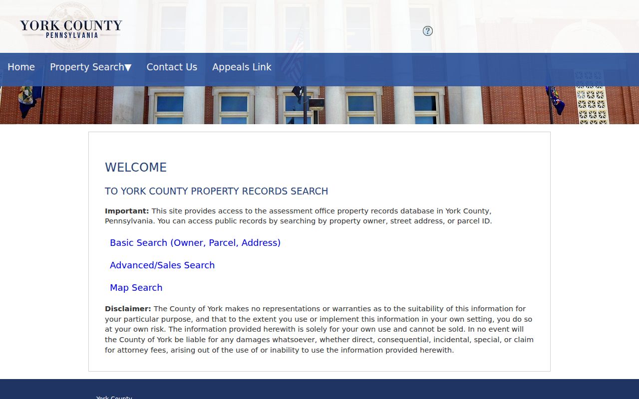
Use the address result to identify a parcel first, then compare its displayed data with the recorded instrument rather than relying on a search suggestion alone.
York County Assessment Map Search supplies the legacy parcel map route with buffer and selection tools.
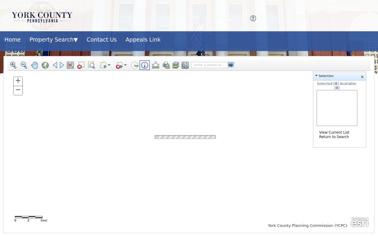
The map can help select a York parcel near a street, but each returned property card still needs to be read on its own.
York Street Directory Parcel Keys
A York street number can change form over time, so a parcel key is the durable bridge. The Uniform Parcel Identifier, or UPI, is required on the first page of a recordable instrument. County verification began in 2001 under the current UPI approach. Recorder and Assessment public computers can search by owner, location, or parcel number, and the Parcel Verification Center checks the owner name, property location, municipality, prior reference, and available lot or acreage information.
- Parcel
- The mapped tax and record unit linked to an address and assessment data.
- Situs address
- The physical property address, which is distinct from a correspondence or mailing address.
- Plat or plan
- A recorded depiction of lots or subdivision information that may be cited in a deed.
- Criss-cross directory
- A historical directory organized by street and address rather than by a person's name.
- UPI
- York County's legal parcel identifier used to keep the recorded tract in view when street names or descriptions vary.
The County UPI information gives a City of York format example of 09-214-01-0007-00000. Preserve the UPI, lot or block details, and book/page together when an address search reaches an older deed.
York Deeds Along One Street
The Recorder Name Search does more than accept a name. It has Standard search and Date or Name sort choices, category checkboxes, Entity Type options, grantor and grantee boxes, date fields, book and page controls, instrument number, and a separate property-description route for subdivision, lot, block, section, map, phase, unit, and description. Standard search removes spaces, punctuation, and special characters. Search by the known party and use the book/page from Assessment when it is available.
Modern and historical records divide by date. County-linked Landex access covers deeds and miscellaneous documents from 1944 forward, mortgages from 1974 forward, and parcel-ID lookups from 2001 forward. SearchIQS covers documented historical intervals beginning in 1749 and ending in 1980, while the Recorder counter offers public terminals, index books, microfilm, and books when an image is difficult to read. Staff can demonstrate the terminals but do not conduct a title search. A remote image is not the same thing as a certified copy from the Recorder.
The York Recorder instrument search shows the party, date, category, book/page, and property-description routes available for a defined York street question.
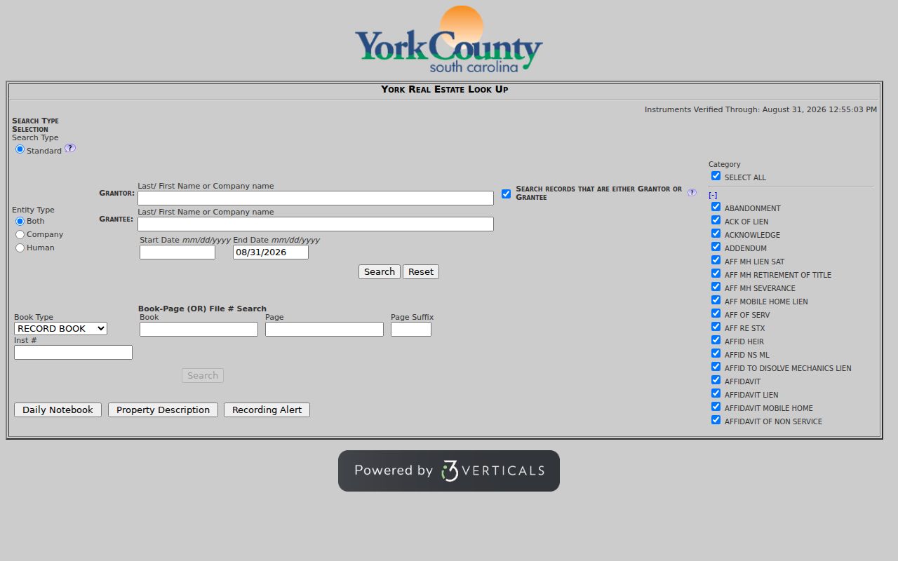
Use the result as a document trail, then request a Recorder-certified copy at the counter when certification matters.
Note: The Recorder's counter prohibits photographing or scanning books and computer screens, so take written notes while using the office's research materials.
York Street Records Change Systems
York's parcel research often crosses a system boundary. SearchIQS lists grantor and grantee images and indexes for 1749-1912, 1913-1924, 1925-1943, 1944-1975, and 1976-1980. The Pennsylvania State Archives independently lists York deed books for 1749-1859 and grantor/grantee indexes for 1749-1912 as a fallback. Landex takes over the modern deed and miscellaneous-document route. An empty search in one service can therefore be an era problem, not proof that the parcel or transfer is absent.
The County's Additional Resources page places Landex, historic SearchIQS, Assessment, the Property Viewer, and archives on the same research map. This comparison matters when one York address is traced across both old and current systems.
York Streets With Older Names
York's address-continuity quirk is documented street-name change, not a verified citywide renumbering. The City's special ordinance tables separate street and alley opening, naming or renaming, and vacation history. Table B records Centre Square changing to Continental Square in 1925 and Fulton changing to Lafayette in 1902. A municipal Northwest Triangle study also notes North Water Street appearing as North Pershing Avenue in later Sanborn maps used by that study, beginning with the 1933 maps it consulted.
Run both the current and historic street forms in York street research. Then confirm the legal description, UPI, lot or block, and book/page before treating an apparent mismatch as a different property. Freystown's 1890 annexation from Spring Garden Township is another small jurisdiction check for older material.
York Address Permit Evidence
York City's Bureau of Permits and Inspections and Planning and Zoning can add a defined address record to a street investigation. The City documents online applications, appointments, two kiosks, and staff contact. Planning and Zoning directs zoning, site-plan, subdivision, and stormwater applications through its online route. Neither office was verified as having a public historic permit or violation results index, so a broad address search should not promise records that were not found.
For a specific project, ask for the address, date range, and record type through the office or a focused Right-to-Know request. A permit can date work or an application. It does not establish who was present at an address.
York City's Bureau of Permits and Inspections documents the City service channels for a defined address record.
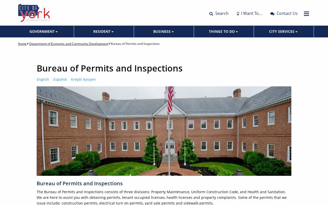
The service page supports a narrow property request, not a claim that all historical address results are available online.
York Mailing Fields and Owners
The Property Viewer and Assessment data may show an owner, a property address, and a mailing component. They mean different things. The mailing field is correspondence data and may be elsewhere. The owner may not be at the physical property, and a property address does not identify every current occupant. Homestead/Farmstead and Clean and Green entries are program or assessment fields, not a people list.
This distinction is especially important when comparing the property card with a historical listing. A directory reports what one edition printed, while a deed documents a recorded transfer. Use each fact for its own purpose, including family-history and property-history research.
York Street Directory Editions
For past York addresses, use an edition-specific criss-cross or city listing after the parcel and deed trail is clear. The City-hosted Northwest Triangle appendix cites selected R. L. Polk York City address listings from 1919 through 1997. Its visible table structure can record the edition, address, names, a business or institution, function, rear or corner qualifier, vacancy, and furnished-room or apartment status. Those are reported listings for an edition, not proof of legal ownership or continuous presence.
The York County History Center is the documented local route for City and County directories, maps, periodicals, and onsite databases. Its collection details belong on the York City Directory page; here, the useful point is to match the street form and the edition date before comparing it with a deed or census record.
Note: Check nearby editions rather than assuming a directory was published every year or that a selected municipal-study entry represents the whole City.
York Street Directory Limits
A York address search cannot reveal motor-vehicle address data, private utility accounts, sealed court material, protected vital records, or protected voter addresses. It also cannot establish every current occupant from an owner field, mailing address, parcel, or historical listing. Pennsylvania's Address Confidentiality Program can provide a substitute address in public-facing systems, so a missing or altered address is not a problem for a researcher to solve.
A need to verify one named person is a different task from searching an address. The York resident lookup route keeps that question tied to the custodian and record type that can actually answer it.